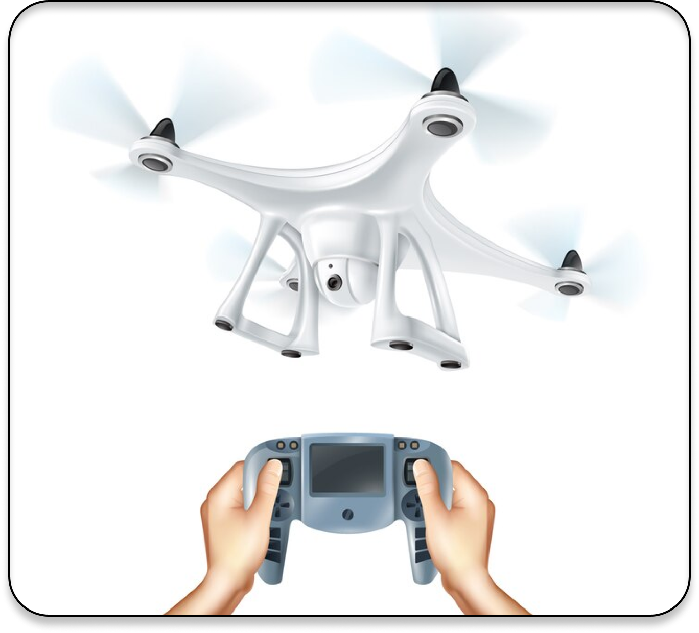
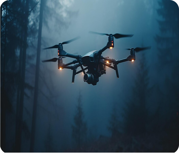
Pioneering the Skies with Drone Innovation

Crafting immersive drone experiences that captivate users and foster engagement, Our solutions span from drone design and development, pushing the frontiers of entertainment technology.

Drone Image

What we do ?

We specialize in customized drone solutions for aerial surveying, precision agriculture, and industrial inspection, leveraging cutting-edge technology. Our services include navigating regulatory requirements, providing actionable insights from drone-captured data, comprehensive training, and ongoing support to ensure operational efficiency.

Tackling your Toughest Challenges in Drone Tech

How the Drone technology domain changes the world in technology perspective

Autonomous Flight and Navigation:

Drone technology merges advanced sensors and AI algorithms for autonomous flight, transforming sectors like agriculture, construction, and logistics. This boosts operational efficiency and safety while cutting costs significantly.

Moreover, drones equipped with diverse sensors play a vital role in infrastructure inspection, offering a cost-effective and safer alternative to traditional methods. They can inspect bridges, pipelines, and other critical infrastructure with high precision and detail, identifying defects or structural weakness before they escalate into serious issues. This proactive approach to infrastructure maintenance helps prevent accidents and prolongs the lifespan of vital structures.

The integration of drones with advanced sensors also opens up new possibilities for agricultural applications. Multispectral imaging, for example, allows farmers to monitor crop health, detect pests and diseases, and optimize irrigation and fertilization practices. This data-driven approach improves crop yield, reduces resource usage, and contributes to sustainable farming practices.

In addition to their practical applications, drones with diverse sensors drive innovation in various industries, spurring the development of new sensor technologies and data analytics algorithms. This continuous evolution expands the capabilities of remote sensing, opening up new avenues for scientific research, environmental conservation, and disaster resilience.

However, the widespread adoption of drone technology also raises concerns about privacy, data security, and regulatory compliance. Addressing these challenges requires collaboration between industry stakeholders, policymakers, and regulatory bodies to establish clear guidelines and standards for drone operations.

Despite these challenges, the potential of drones with diverse sensors to transform remote sensing and monitoring activities is undeniable. As technology continues to advance and costs decrease, we can expect to see even greater integration of drones into everyday operations across a wide range of sectors, ultimately leading to more efficient and sustainable resource management

Drones equipped with an array of sensors, including cameras, LiDAR, and multispectral imaging, revolutionize remote sensing across domains like environmental monitoring, disaster response, and infrastructure inspection. They enable rapid data collection, informed decision-making, and efficient resource allocation, ultimately enhancing safety, productivity, and sustainability in various industries.

Urban Air Mobility
Urban Air Mobility (UAM):

The emergence of UAM platforms facilitates the integration of drones and air taxis into urban transportation networks, and sustainable mobility solutions for passengers and cargo.

AI-Powered Collision Avoidance
AI-Powered Collision Avoidance:

AI algorithms for collision avoidance enhance the safety and reliability of drone operations, enabling drones to navigate complex environments and avoid obstacles autonomously.

Environmental Monitoring
Environmental Monitoring:

Drones equipped with specialized sensors contribute to environmental monitoring and conservation efforts, from wildlife tracking and habitat mapping to pollution detection and disaster response.

CubeAISolutions Tech
For Enquiry